
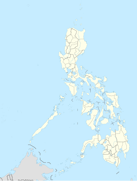
Òbrôzk:Philippines adm location map.svg

Pierwòtny lopk (Lopk SVG, nominalno 1871 × 2467 pikslów, miara lopka: 719 KB)
Òpisënk
| Òpisënk |
Deutsch: Positionskarte der Philippinen
English: Location map of the Philippines
|
||||||||||||
| Datum | |||||||||||||
| Zdrój |
Praca własna przy użyciu:
|
||||||||||||
| Aùtor | NordNordWest | ||||||||||||

|
Ta mapa została stworzona lub ulepszona w niemieckiej Kartenwerkstatt (Pracowni Kartograficznej). I Ty możesz zaproponować inne mapy do ulepszenia.
|
Licencëjô
Usage of this file with:

explanatory notes: Legally binding is only the full legalcode. For a free usage I recommend to respect the following licence conditions:
1. Provide my name as given above: NordNordWest,
2. a copy of, or the URI for, the applicable license: https://creativecommons.org/licenses/by-sa/3.0/de/legalcode,
3. the title of the work,
4. in the case of an adaptation, a credit identifying the use of the work in the adaptation.
This license and the rights granted hereunder will terminate automatically upon any breach by you of the terms of this license. Any of the above conditions can be waived if you get permission from the copyright holder. If you have questions or wish differing conditions, please contact me through nnwest or my discussion page ![]() t-online.de
t-online.de
- Mòżesz:
- dzélëc sã – kòpirowac, rozprowôdzac, ódtwarzac ùsôdztwò
- zmieniwac – ùsôdzac zanôléżné ùsôdztwa
- Na nôslédnych warunkach:
- ùznanié ùsôdztwa – Ùsôdztwò je nót nacéchòwac na ôrt òpisóny przez ùsôdzcã abò licencjodawcã.
- wedle tich sómych prawów – Jeżlë zjinaczô sã abò przekształcô ùniższi ùsôdzk, abò ùsôdzô sã jinny na jegò spòdlim, to mòże je rozkòscérzac wëszłi na nen ôrt ùsôdzk blós na równy abò zblëżony licencëji.

Historëjô lopka
Klëkni na datum/czas, abë òbaczëc jak wëzdrzôł lopk w tim czasu.
| Datum/Czas | Miniatura | Miara | Brëkòwnik | Òpisënk | |
|---|---|---|---|---|---|
| aktualny | 21:10, 30 lës 2023 | | 1871 × 2467 (719 KB) | NordNordWest | corr |
| 21:03, 30 lës 2023 |  | 1871 × 2467 (719 KB) | NordNordWest | upd 2022 | |
| 22:19, 13 môj 2016 |  | 1871 × 2467 (719 KB) | NordNordWest | == {{int:filedesc}} == {{Information |Description= {{de|1=Positionskarte der Philippinen}} {{en|1=Location map of the Philippines}} {{Location map series N |stretching=103 |top=21.2 |bottom=4.3 |left=114.1 |right=127.3 }} |Source={{Own using}} * United... |
Lënczi do lopka
Niżódnô starna nie lënkùje do negò lopka.
Globalné wëzwëskanié lopka
Nene lopk je téż brëkòwnóny w jinnych ùdbach Wiki:
- Wëzwëskanié w ceb.wikipedia.org
- Leyte (pulo)
- Sidlakang Samar
- Misamis Occidental
- Poro, Sugbo
- Ormoc
- Calbayog
- Tacloban
- Bontoc, Habagatang Leyte
- Padre Burgos, Habagatang Leyte
- Daram, Samar
- Maasin
- Salcedo, Sidlakang Samar
- Alcantara, Sugbo
- San Antonio, Amihanang Samar
- San Roque, Amihanang Samar
- Zumarraga, Samar
- Ajuy, Iloilo
- Tigbauan, Iloilo
- Mabini, Bohol
- Inabanga, Bohol
- Anda, Bohol
- Balamban, Sugbo
- Lazi, Siquijor
- Maria, Siquijor
- Siquijor, Siquijor
- Catmon, Sugbo
- Madridejos, Sugbo
- Tabogon, Sugbo
- Tabuelan, Sugbo
- Batanes
- Habagatang Upi
- Mapun
- Habagatang Ubian
- Turtle Islands, Tawi-Tawi
- Talakag, Bukidnon
- La Carlota
- Himamaylan
- Leon B. Postigo
- Jose Abad Santos, Davao Occidental
- Governor Generoso, Davao Oriental
- Dakbayan sa Iloilo
- Bantayan (pulo)
- Dakbayan sa Sugbo
- Malaybalay
Pòkôżë lëstã glonal;negò brëkwaniô negò lopka.